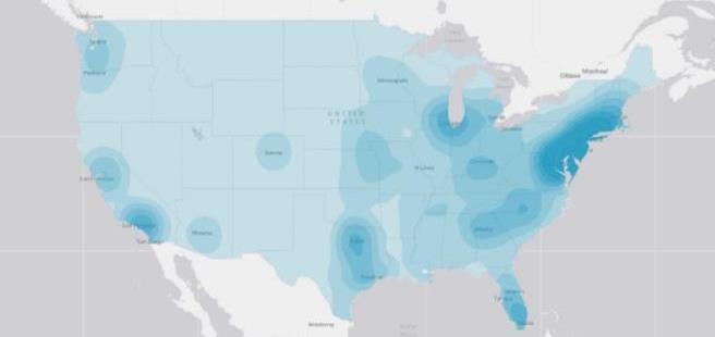
New interactive map of Let's Move! programs launched
There is now an interactive map of Let’s Move! programs across the country. This is a great tool to identify new partners for your work and learn more about work being done in your city or county. You can search both by zipcode to see who’s participating in Let’s Move! programs in your area, or by specific participant (i.e. school, museum, city, county, etc.). The programs in the map were launched in collaboration with federal agencies, businesses, and non-profits to mobilize every sector to work in alignment with the overall goals of Let’s Move! and offer solutions, objectives and technical assistance to help kids and families lead healthier lives. This is a great tool to both identify collaborative partners and learn what work is being done in your city or county!
View the full map of Let’s Move! programs.


